Welcome to The Arizona WebCam
This site is run by the IT Lab personnel from the UArizona Department of Computer Science
Common Questions
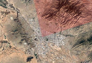 |
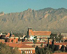
What part of Tucson is seen?The camera view shows the western part of the Catalina Mountains; the foothills west of Craycroft; and the campus west and north of Old Main.See a detailed map. |
 |
What's that glare?An abandoned solar dish on the Civil Engineering building reflects the sun.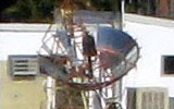
|
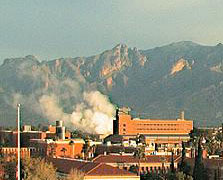 |
Is that a fire?No, that's water vapor from the refrigeration plant on Helen Street.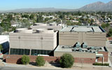
|
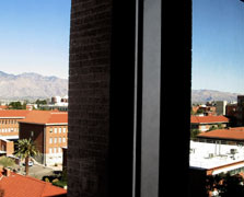 |
Can you make a change...
Unfortunately no, with the way Gould-Simpson is designed we have limited views between the structure pillars. We have tried to optimize the view as best as we can. |
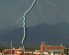 |
Did you see this neat photo?No, pretty sure we didn't; thanks for pointing that out. With several hundred images collected every day, it's easy to miss a notable lucky shot. (We are working on a new album page to display notable images.) |
The temperature data used in the camera images comes from the Atmospheric Sciences weather station just east of our building. We now use the five-minute-average of the ground-level temperature, the official reading from this station. National Weather Service data is used as a backup when the campus data is unavailable.
This is the current forecast based on data from the Tucson International airport.
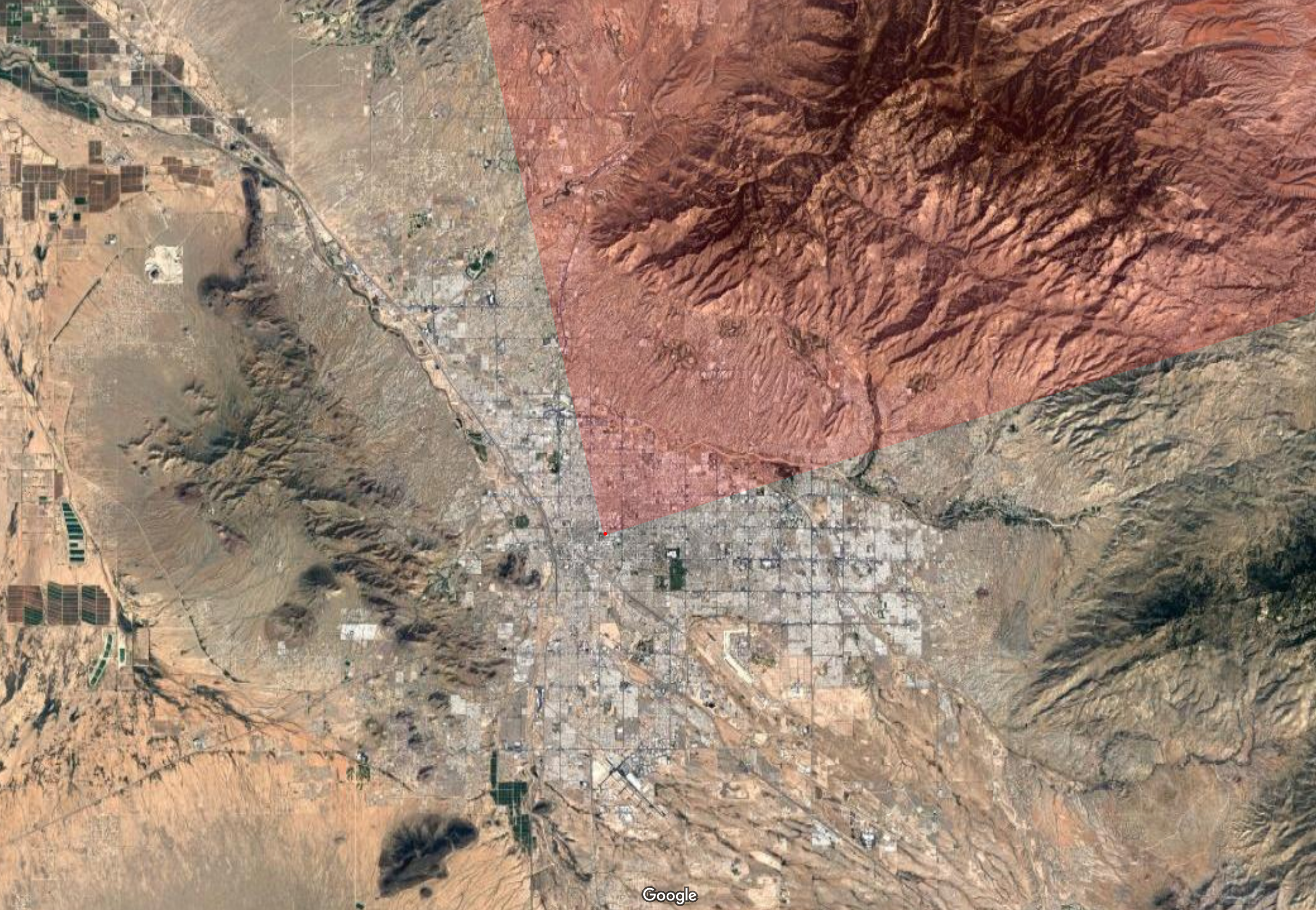
Location of where our cameras get their view.
University Information Security and Privacy
© 2022 The Arizona Board of Regents on behalf of The University of Arizona.
